Itinerary detail
The ancient retreat of Santu Miali
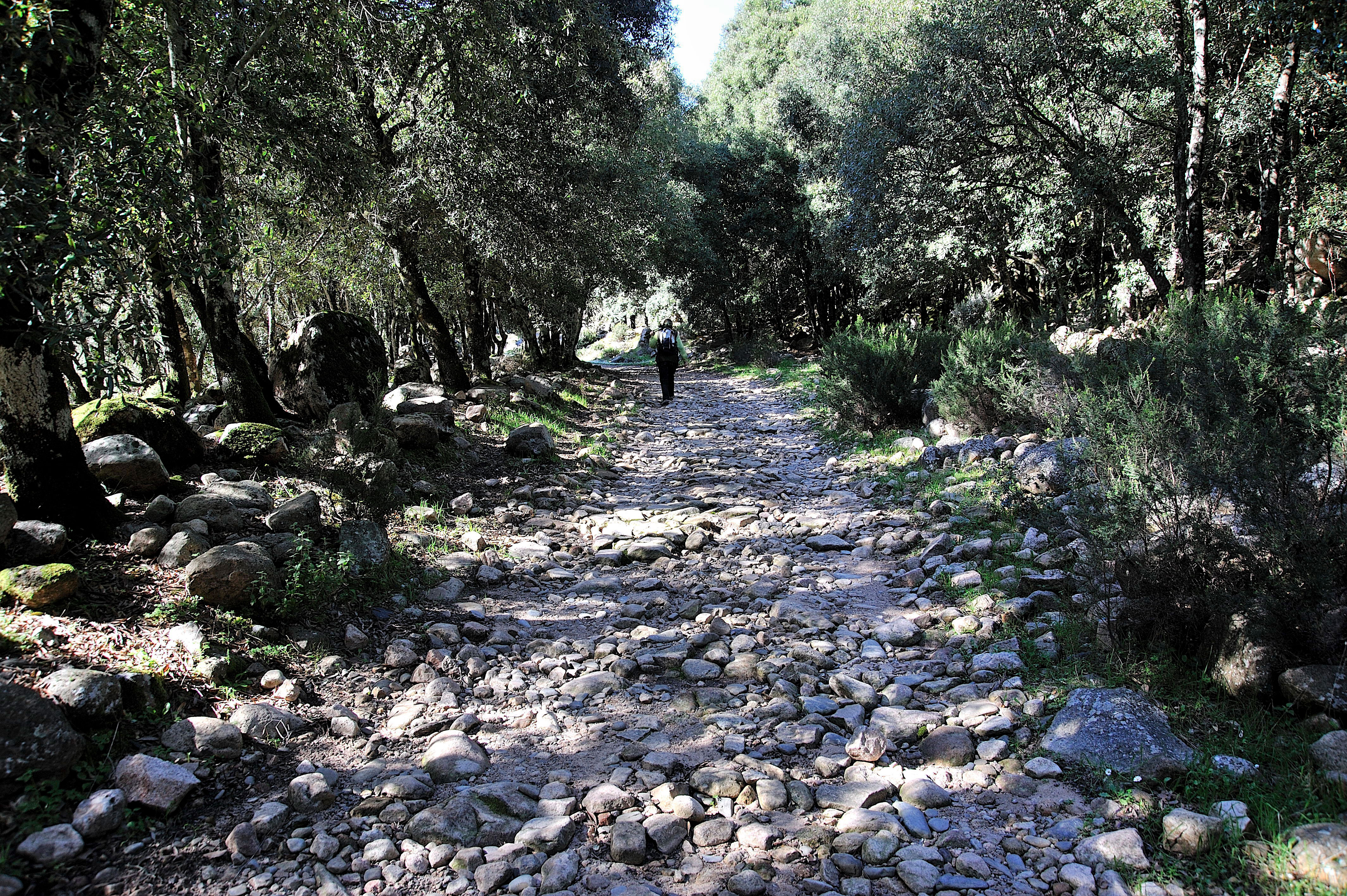
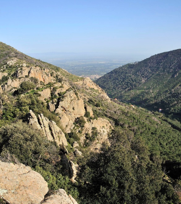
A hike that is fairly difficult due to the steep elevation gain which includes long, pleasant distances along with challenging climbs in the shade and the barren spots of the crests that alternate constantly characterizing this long excursion with a delightful variety of landscapes and environments.
Your efforts will be repaid in full by the typical geological conformations, the panoramas and the age-old holly oaks.
You will be leaving from the piazzale Giarranas at 360 metres a.s.l., among wide clearings and leafy trees that offer an impressionistic view. Follow path 108 that skirts the rio Coxinas river and continues towards Cantina Coxinas to then clamber up to an altitude of 1062 metres a.s.l. at P.ta S.Miali. The return trip will take you to Cuccuru Frissa at 924 metres a.s.l., M.Narti at 621 metres a.s.l., and M.Cuccureddu at 467 metres a.s.l. to continue through barren expanses; you will find yourself once again in the typical Mediterranean brush to conclude your hike in the vallata di Castangias (valley) and the pineta del Carmine (pine grove).
Route type:
walking
Travel time:
full day
Duration of the round trip:
6 hours
Difference in height:
702 meters
Degree of difficulty:
expert (difficult)
Geographic map
To be seen
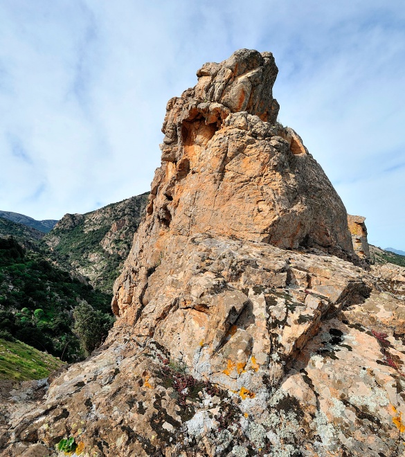
Belvedere Giarranas
Piazzale Giarranas, often mentioned in the novels written by Giuseppe Dessì, is renowned for the imposing granite spires called "Is Campanas de Sisinni Contu" (Sissinni Contu’s bells).
Castangias Park
The area in the outskirts of the town now known as Parco Castangias (Castangias Park) was once a beautiful forest filled with cherry trees, European nettle trees, walnut trees and first and foremost chestnut trees, from which the place gets its name.
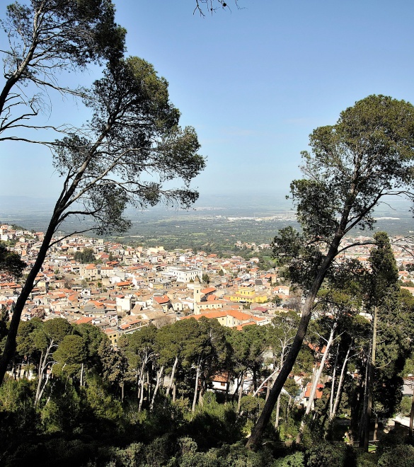
Pine Grove
A lovely, dense pine grove surrounds the upper portion of Villacidro, entirely covering the slopes of Monte Omo and Monte Cuccureddu upon which the town is positioned.