Itinerary detail
Towards the tallest peak
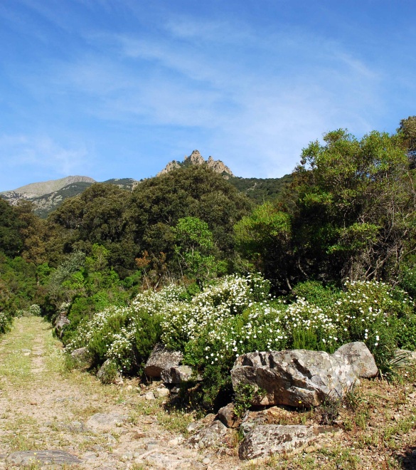
A fairly difficult hike due to the uphill elevation gain but it is also one of the most fascinating thanks to the beauty of the breathtaking landscape to be viewed from the P.ta Perda de sa mesa peak, the tallest in the Linas mountain range.
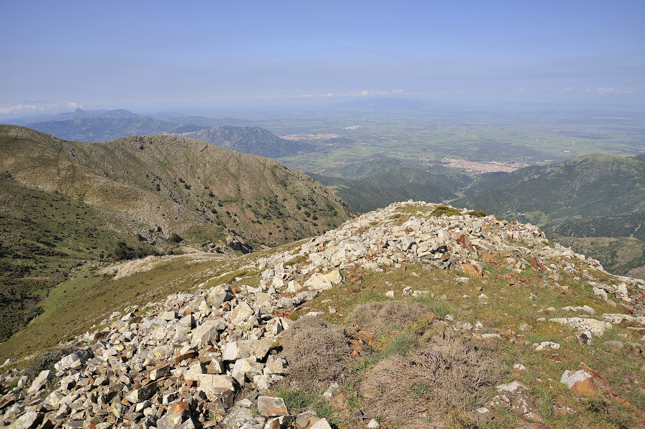
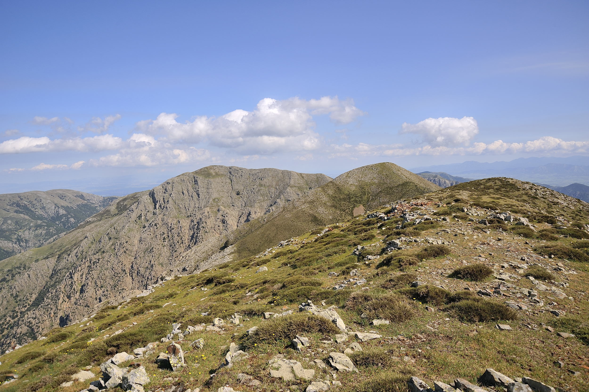
Leaving from the Vecchia Dispensa, 325 metres a.s.l., located in the parco di Villascema park, you will reach P.ta Cammedda, one of the tallest peaks of the Massiccio del Linas massif Continue along an uphill path that will take you to Genna Farracceus, at 694 metres a.s.l. in the Gonnosfanadiga territory. Keep climbing through a long series of turns and bends until you reach Genna Spina and the evocative panoramic point known as Genna Eidadi, at 1026 metres a.s.l.
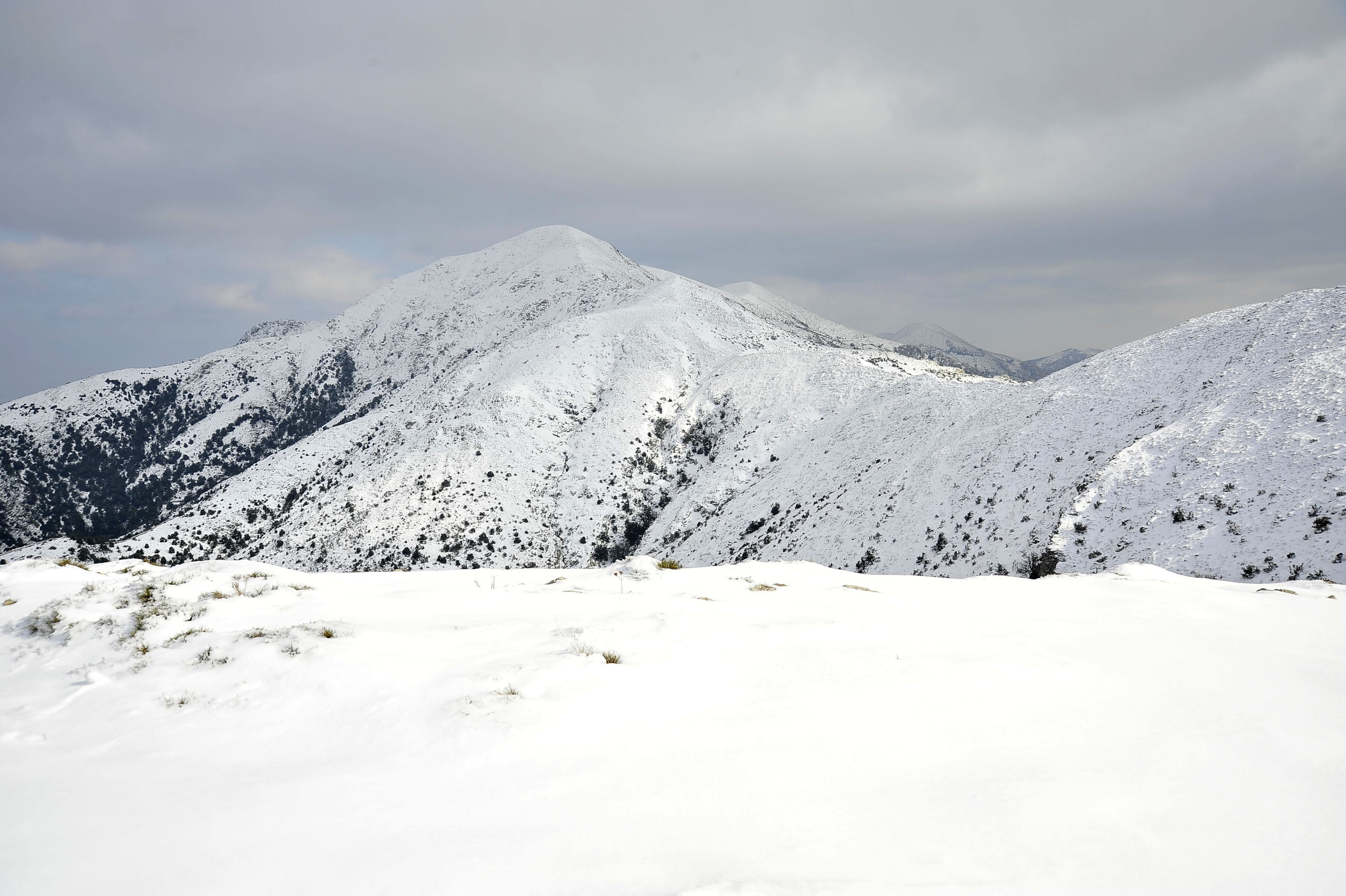
The hike continues uphill halfway up the slope to the highest peak of the Linas range: P.ta Perda de sa Mesa (1236 metres a.s.l.). The view is spectacular: you are surrounded by the tallest peaks of the Linas and the deepest of valleys. On a clear day you can see all the way to the coast of Arbus, Buggerru. The hike is particularly long and tiring due to the elevation gain but your efforts will sure be repaid in full.
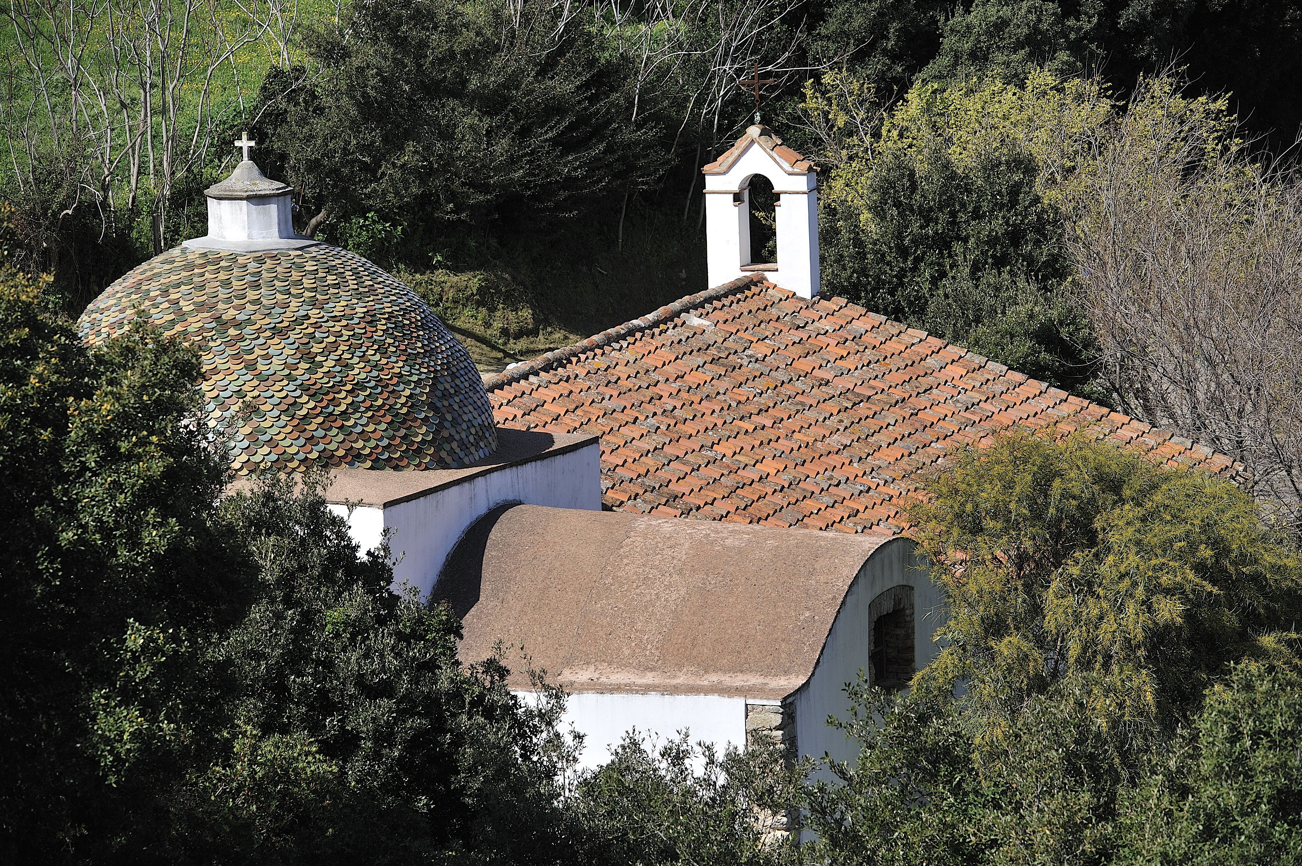
You can begin your return trip by descending the path that runs along the Forestry Department fence and a small wall that leads to the Nuraxi de Togoro spring: Keep going downhill along a rather long road that is well indicated by a white/red signal 106. You will reach the country chapel of S. Severa in the Gonnosfanadiga territory: near this chapel dedicated to Santa Severa you can drive along a road with a visible small dry-stone wall and a bit further ahead you will see antenna towers. There is also a fresh spring near the clearing, always important when hiking in the mountains. At this point, you can leave the car and continue on foot
Route type:
walking
Travel time:
full day
Duration of the round trip:
7 hours
Difference in height:
911 meters
Degree of difficulty:
expert (difficult)
Geographic map
Multimedia
To be seen
Parco di Villascema
A wide area at the foothills of Linas mountain range, crossed by the stream Leni, flowing into the vast artificial basin downstream.