Itinerary detail
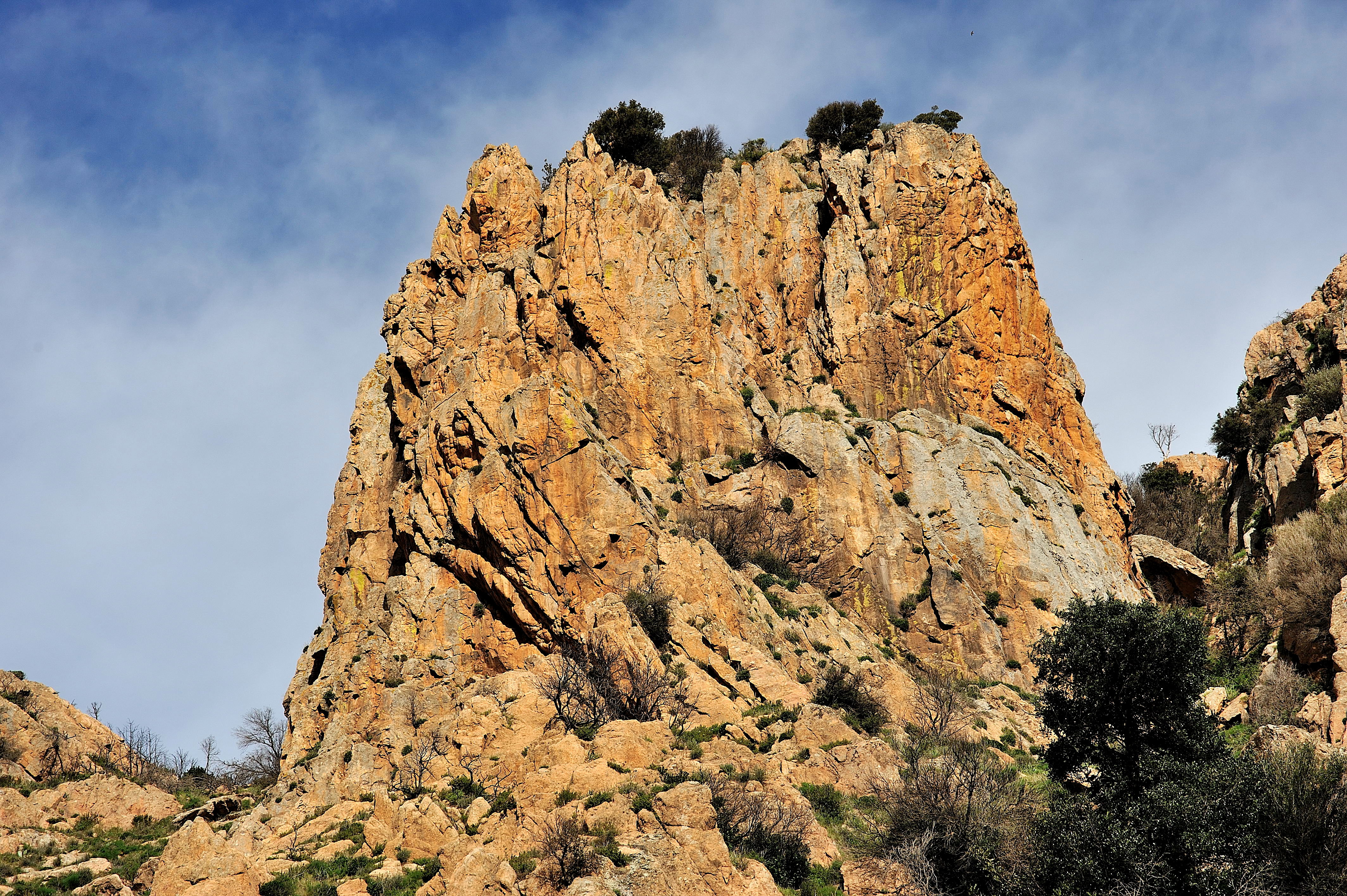
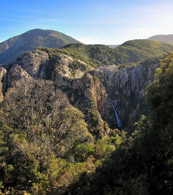
Silver waterfalls and pink granite
There are several spectacular waterfalls in the Linas area that can be reached through pleasant and interesting itineraries.
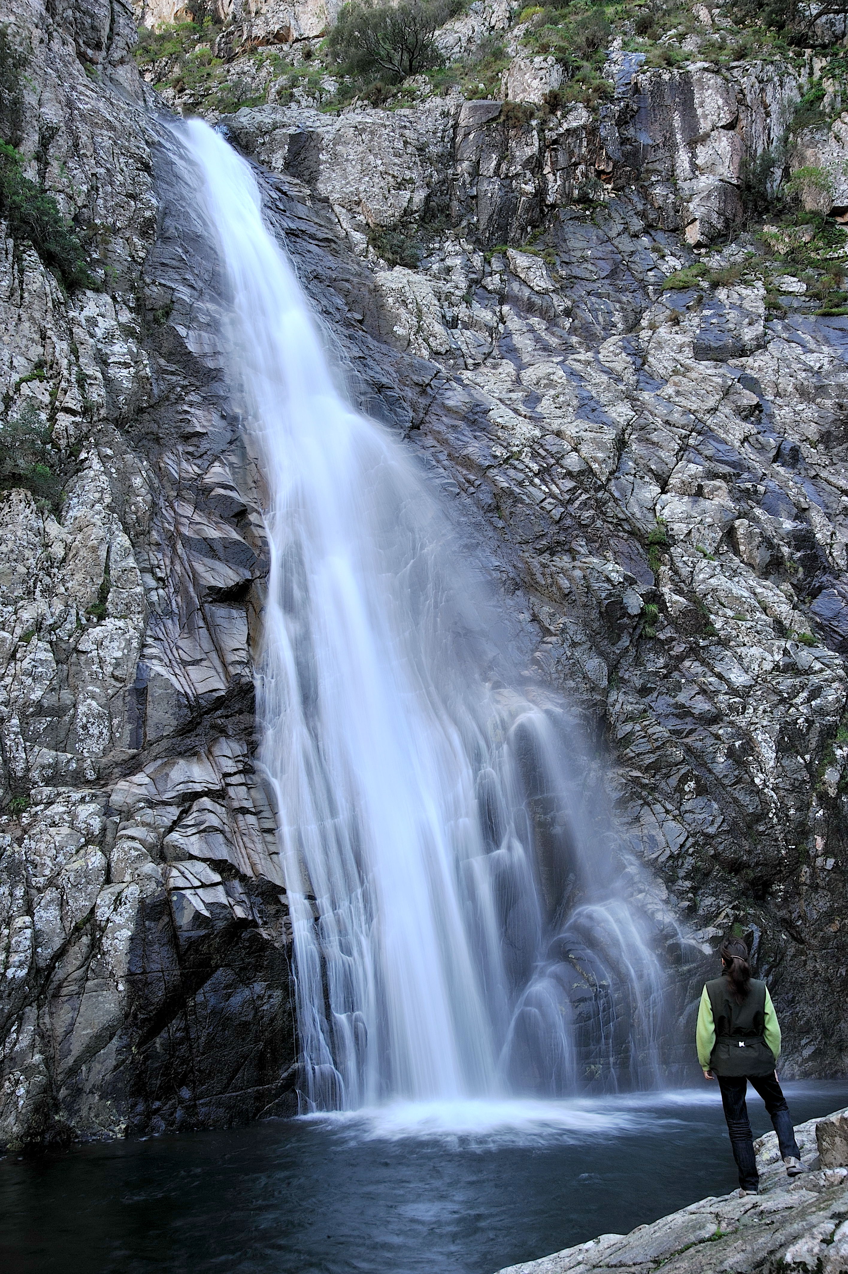
One of the best known and most majestic of these is the Muru Mannu falls that features a 72 metre drop, making it the tallest of the entire island of Sardinia.
To reach the departure point of this hiking excursion, drive from via Nazionale along the paved road following road signal “San Giuseppe” to the crossroads for San Sisinnio and Monti Mannu. Continue on the right along the road skirting the Leni dam to the bridge over Rio Villascema river. You will reach another crossroads that lead to Villascema and the “Is Campus de Monti” pine grove, “ Monti Mannu”. on the left. Turn right a bit further down the road (leaving the asphalt behind) and continue along a dirt road bordered by trees with tall trunks so typical of the Mediterranean brush characterized by cypress, eucalyptus, oak, holly oak and acacia trees (and many others)….There are several natural springs along this road and you will pass in front of Canale Serci that features the ruins of an ancient tin mine which gets its name from the area. Currently, the mine is no longer in use but the buildings on the site once used to house the miners are now used as workshops for blacksmiths and carpenters working for the Forestry Department. The mine’s former administrative building has been renovated to host the Forestry Department headquarters.
Further up the road on the right, there is a natural spring and an area with tables and benches right next to the Forestry Department garden centre and the former mountain colony. The upper portion is partially visible as is the old wall that once surrounded the entire Natural Reserve of deer and mouflons, recently reintroduced to the Monti Mannu park. It is not unusual to come across them in the late afternoon or early evening as they come down to the valley to feed.
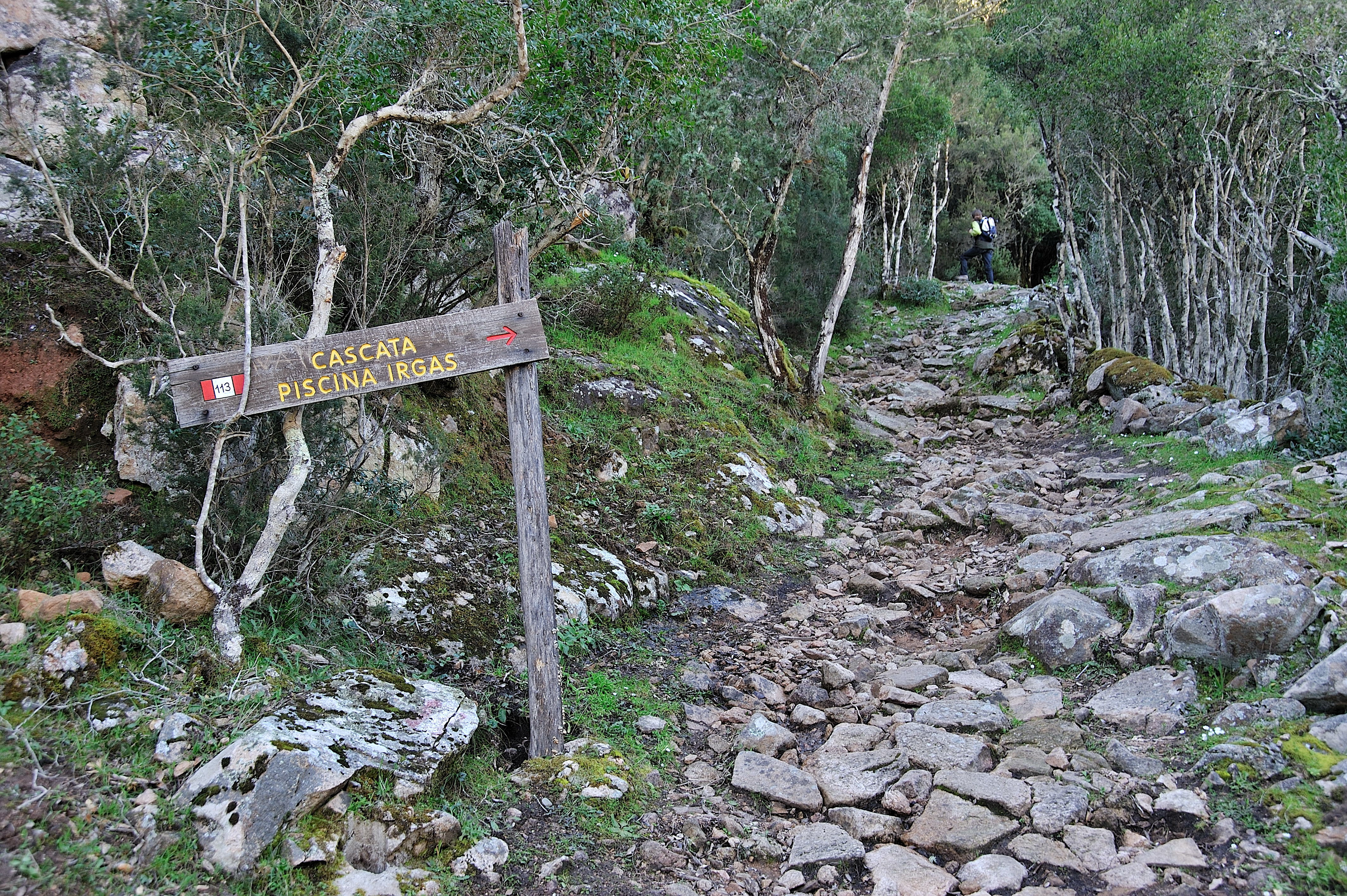
You will have arrived to the departure point of your hike after only a few metres: leave your cars at the extended clearing of the Cantina Ferraris and continue on foot along the road skirting the rio Cannisoni river to the road sign that indicates some of the area’s possible itineraries – all of which are numbered and indicated clearly: leading to the Piscina Irgas waterfall, leading to the Muru Mannu waterfall, leading to Punta Magusu to the Ovile Linas.
It is from here that you will follow along path 109, immersed in the evocative green countryside: there are many coal worker sites, remains of old sheep pens and shepherd shelters. The itinerary is suitable to the tourist from its very first ford (nine in all) but may present some difficulty while crossing if the river should be high. Should the opposite be the case, it is easily practicable up to the confluence of rio Muru Mannu and rio Linas rivers. From here, through long, narrow rocky passages and some downhill patches, the hike concludes between the high granite walls surrounding the cascata di Muru Mannu waterfall. It imposing 72 metres is awe-inspiring. Follow the same directions in reverse to return to your starting point.
Route type:
by car and walking
Travel time:
full day
Geographic map
Multimedia
To be seen
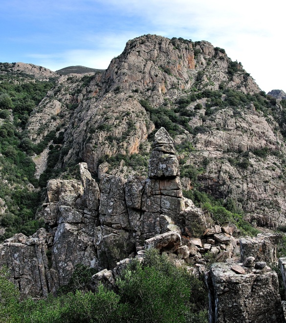
Monti Mannu Park
One of the best known and loved areas of Villacidro, the woods in Monti Mannu is often the destination of weekend excursions and trips to the countryside.
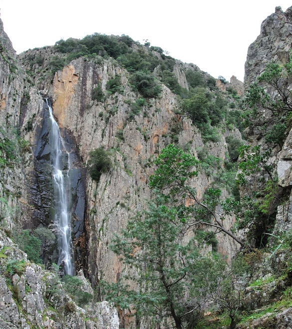
Muru Mannu waterfalls
The most imposing point of this massif, which is also Sardinia’s most elevated with its 72 meters of height, is the Muru Mannu falls
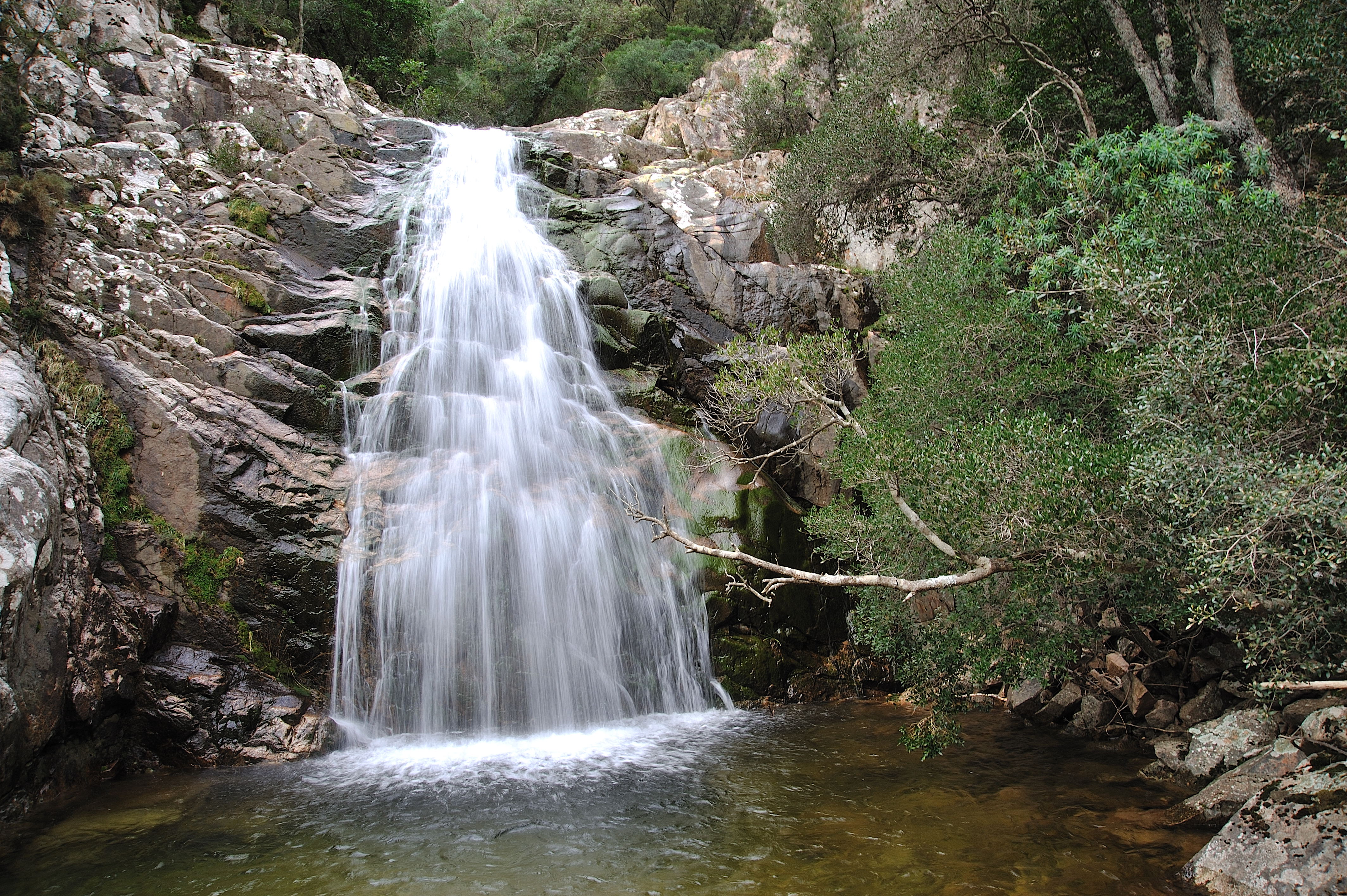
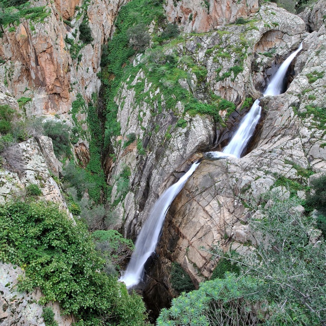
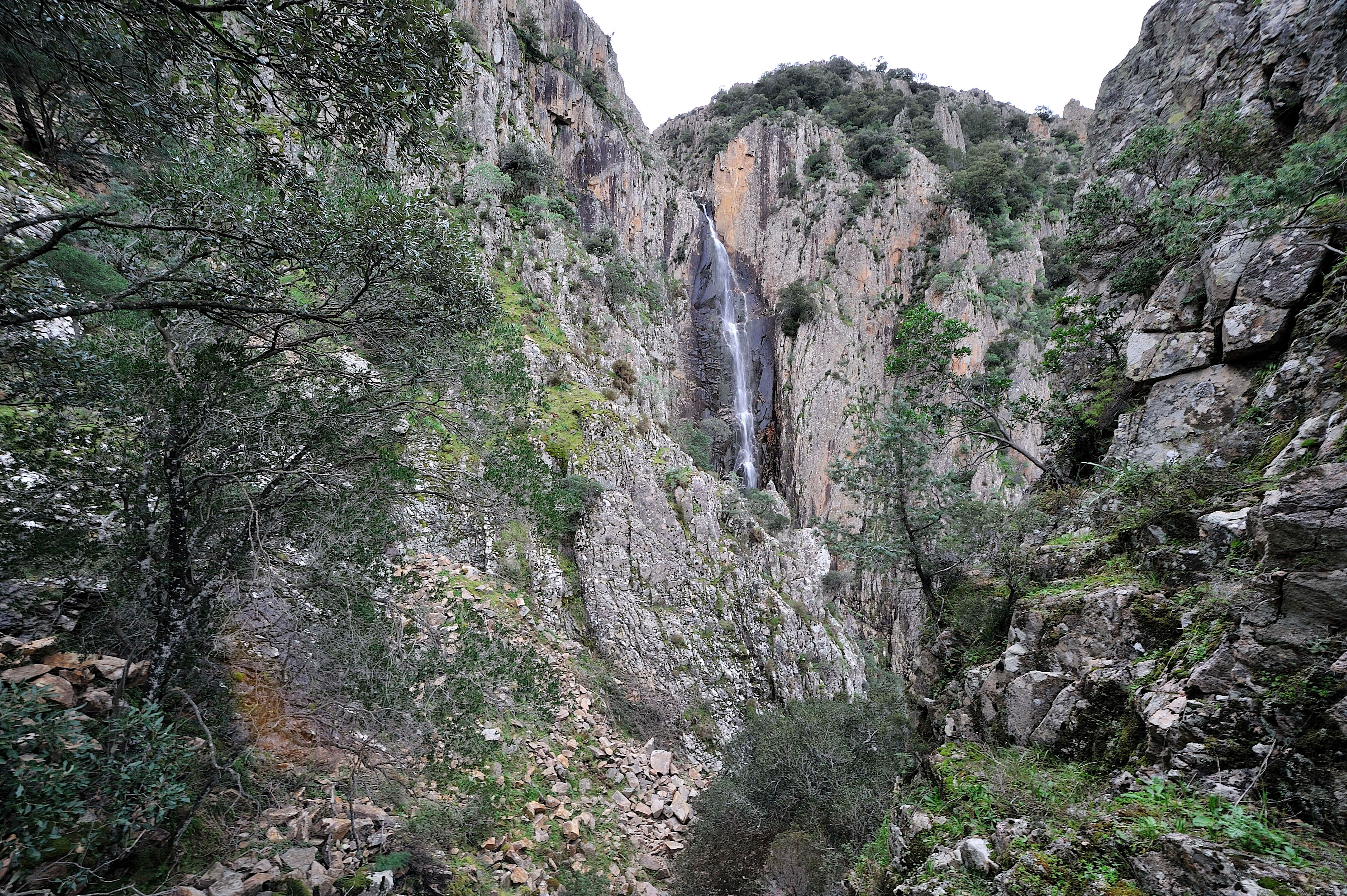
Piscina Irgas waterfall
One of the most evocative falls of the Linas area is surely the Piscina Irgas waterfalls.
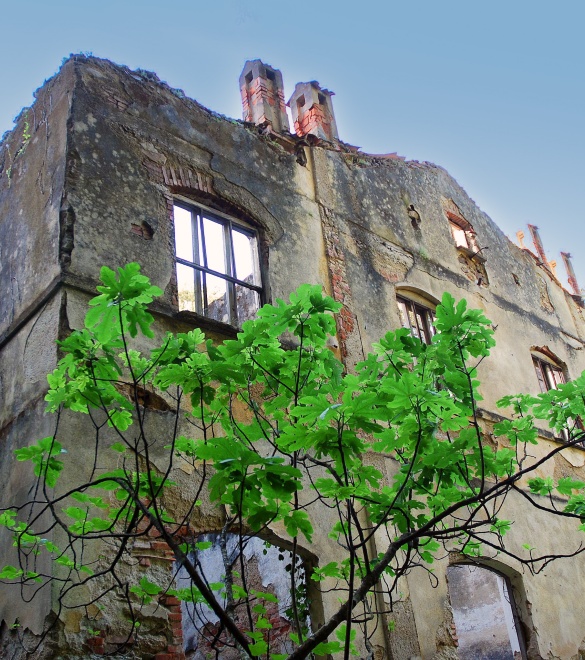
The mine of the Serci canal
Numerous testaments of the buildings and structures belonging to the mine of the Serci canal still remain: the washery, some structures once used as miners’ dwellings, the director’s building, present day restructured and used as offices for “l'Ente Foreste della Sardegna”, and many mining tunnels.