Itinerary detail
Punta Magusu
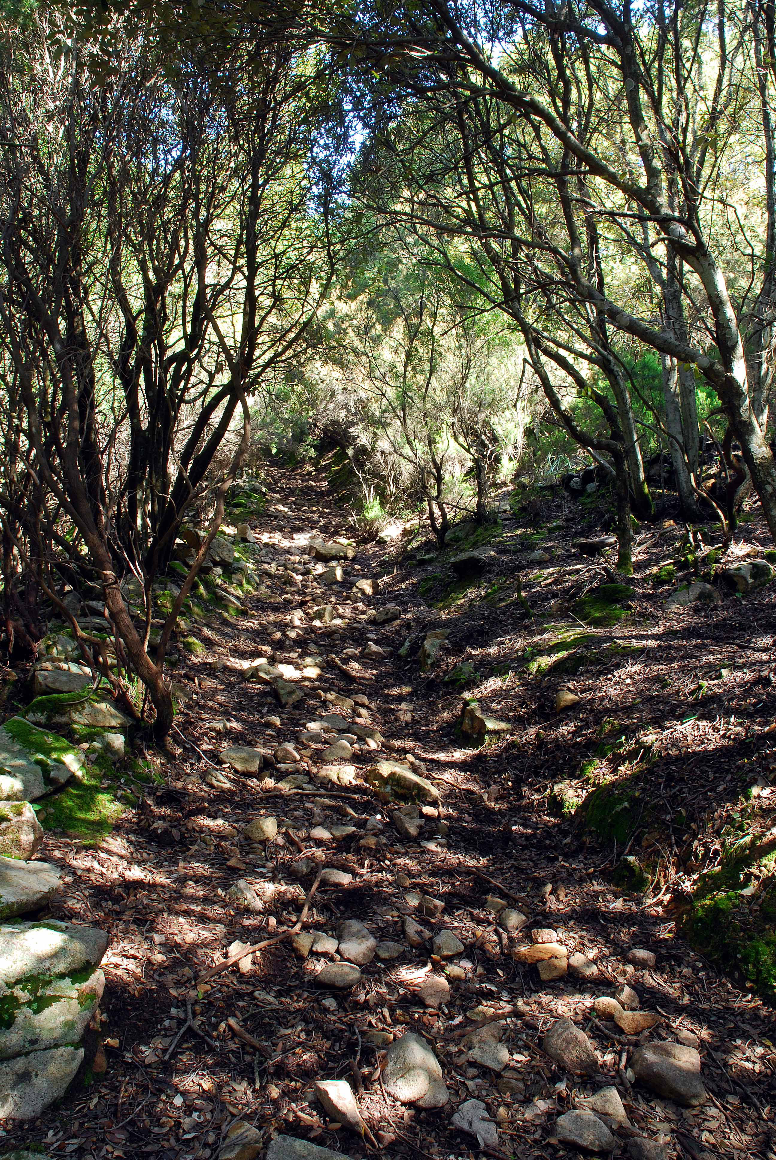
The path is an interesting one in that it runs along a mule trail that is in good condition, climbing up to the dense woods that have flourished from reforestation. Coal workers in the late 1800’s and early 1900’s had cut down most of the trees.
It also allows the hiker to follow the path without any trouble. It features many springs and lovely panoramas from the peaks of P.ta Magusu (1023 metres. a.s.l.) and P.ta Acqua Piccinna (1010 metres.a.s.l.). Many mines can be seen as well as the rare, endemic Helycrisum Montelinasanum.
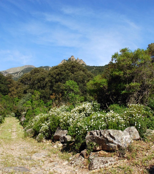
The excursion leads from Parco di Villascema, in Gutturu de Terra, and continues along a path (unmarked by the C.A.I.) that goes uphill rather gently without presenting any particular challenges. Leaving the main road behind, you will get on a path that leads to the heart of the valley, retracing the steps of oxcarts from the days gone by. Genna S’ Ega Manna (823 metres a.s.l.) offers intense emotions with its view of lago Leni lake, the Gutturu Magusu valley, monte Lisone (1082 metres a.s.l.), and Acqua Zinnigas (1136 metres a.s.l.). A very steep climb, the excursion’s most difficult part, along an imposing rocky wall will lead you to P.ta Magusu (1023 metres a.s.l.).
The view from here stretches from the valley of the Piana del Cixerri to the Sulcis mountains. You will hike to the peak of the Acqua Piccinna (1010 metres a. s.l.) to then return to the parco di Villascema without much trouble at all, crossing through the Croigas area filled with cherry orchards.
Route type:
walking
Travel time:
full day
Duration of the round trip:
4 hours
Difference in height:
756 meters
Degree of difficulty:
expert (difficult)
Geographic map
To be seen
Parco di Villascema
A wide area at the foothills of Linas mountain range, crossed by the stream Leni, flowing into the vast artificial basin downstream.